Description
OUTBACK NSW MAP


$12.95
A regional map of outback NSW (1:1,100,000) that ranges from Tamworth in the east to Broken Hill in the west, as well as from Wagga Wagga in the south to past the Queensland border in the north. On the opposite side is extensive information on numerous regions, including visitor, historical and background information. Covered regions include the Broken Hill region, Corner Country, east of Tibooburra, the White Cliffs region, Cobar and surrounds, around Back o’Bourke, Lightning ridge and surrounds, Wentworth region, Balranald, Griffith region, Dubbo and surrounds, Kinchega National Park, Mungo National Park, Sturt National Park and Mutawintji National Park.
Out of stock

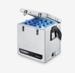 DOMETIC 33L ICE BOX $210.00
 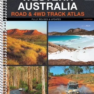 WA ROAD & 4WD TRACK ATLAS $49.95
 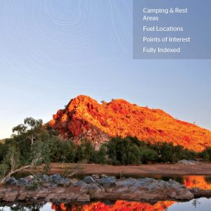 WA HANDY MAP $10.95
 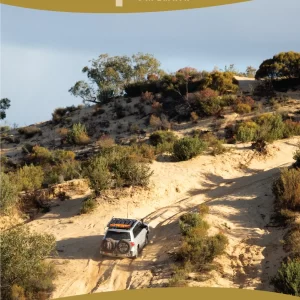 VICTORIAS DESERTS 4WD MAP NLA $12.95
  THERMOS 1L STAINLESS FLASK $27.95


Reviews
There are no reviews yet.
Customers review
Rate it!
Only logged in customers who have purchased this product may leave a review.
Write A Review